 INSPIRE-1
Keyword
land cover
10 record(s)
Provided by
Type of resources
Available actions
Topics
Keywords
Contact for the resource
Update frequencies
Service types
-

INSPIRE Direct Access Download Service for CORINE Land Cover – 5ha. This service provides from CORINE Land Cover 5ha (CLC5) transformed datasets for the INSPIRE theme Land Cover. The data provided through this service covers the area of Germany.
-
INSPIRE Direct Access Download Service for CORINE Land Cover – 5ha. This service provides from CORINE Land Cover 5ha (CLC5) transformed datasets for the INSPIRE theme Land Cover. The data provided through this service covers the area of Germany.
-
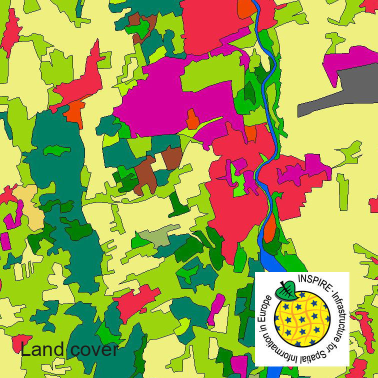
This dataset clc5 (2012) describes the landscape according to the CORINE Land Cover (CLC) nomenclature. These classes contain mainly information about landcover mixed with some aspects of landuse. CLC5 is based on the more detailed German landcover model from 2012 (LBM-DE2012) which uses separate classes for landcover and landuse and attribute-information about percentage of vegetation and sealing. The mimimum unit for an object is 1 ha. For the CLC5 dataset landcover and landuse classes are combined to unique CLC-classes taking into account the percentage of vegetation and sealing , followed by a generalisation process.
-
This dataset clc5 (2015) describes the landscape according to the CORINE Land Cover (CLC) nomenclature. These classes contain mainly information about landcover mixed with some aspects of landuse. CLC5 is based on the more detailed German landcover model from 2015 (LBM-DE2015) which uses separate classes for landcover and landuse and attribute-information about percentage of vegetation and sealing. The mimimum unit for an object is 1 ha. For the CLC5 dataset landcover and landuse classes are combined to unique CLC-classes taking into account the percentage of vegetation and sealing , followed by a generalisation process.
-
INSPIRE Direct Access Download Service for CORINE Land Cover – 5ha. This service provides from CORINE Land Cover 5ha (CLC5) transformed datasets for the INSPIRE theme Land Cover. The data provided through this service covers the area of Germany.
-
This dataset clc5 (2018) describes the landscape according to the CORINE Land Cover (CLC) nomenclature. These classes contain mainly information about landcover mixed with some aspects of landuse. CLC5 is based on the more detailed German landcover model from 2018 (LBM-DE2018) which uses separate classes for landcover and landuse and attribute-information about percentage of vegetation and sealing. The mimimum unit for an object is 1 ha. For the CLC5 dataset landcover and landuse classes are combined to unique CLC-classes taking into account the percentage of vegetation and sealing , followed by a generalisation process.
-
Der Datensatz "INSPIRE BW Bodenbedeckung System zur Identifizierung landw. Parzellen" stellt die Bodenbedeckung von landwirtschaftlich genutzten Flächen dar. Die Polygone haben die Objekteigenschaften "Nutzungsart", "FLIK (Flächenidentifikator)" und "Bruttofläche (MEA)". Die Objekteigenschaft "Nutzungsart" kann die Sachattribute "Ackerland", "Dauergrünland", "Dauerkultur" oder "Landschaftselement" enthalten. Die Objekteigenschaft "Bruttofläche (MEA)" beschreibt die Größe der maximal beihilfefähigen Fläche auf dem Polygon. Die Referenzparzelle ist das Flurstück. Die Daten werden im Rahmen der Gemeinsamen Agrarpolitik der EU erhoben und sind Bestandteil des Verwaltungs- und Kontrollsystems (InVeKoS) von Baden-Württemberg. Gemäß Artikel 70 der Verordnung (EU) Nr. 1306/2013 umfasst das InVeKoS auch ein System zur Identifizierung landwirtschaftlicher Parzellen. Die Daten stammen aus dem Gemeinsamen Antrag (GA) 2022. Die Polygone wurden anonymisiert.
-
Der Datensatz "INSPIRE BW Bodenbedeckung - Stabile ÖVF" stellt die stabilen ökologischen Vorrangflächen (EFA) nach der Verordnung (EU) Nr. 1307/2013 Art. 46 dar. Die Daten sind mit dem Gemeinsamen Antrag (GA) 2022 letztmalig aktualisiert worden. Die Daten werden im Rahmen der Gemeinsamen Agrarpolitik der EU erhoben und sind Bestandteil des InVeKoS von Baden-Württemberg. Die Polygone wurden anonymisiert.
-
Der Datensatz "INSPIRE BW Bodenbedeckung System zur Identifizierung landw. Parzellen ab 2023" stellt die Bodenbedeckung von landwirtschaftlich genutzten Flächen dar. Die Datentransformation erfolgt nicht nach dem INSPIRE-Thema Bodenbedeckung. Es werden die folgenden technische Leitlinien für InVeKoS-Daten umgesetzt: https://publications.jrc.ec.europa.eu/repository/handle/JRC132427 Die Daten werden im Rahmen der Gemeinsamen Agrarpolitik der EU erhoben und sind Bestandteil des Verwaltungs- und Kontrollsystems (InVeKoS) von Baden-Württemberg. Gemäß Artikel 68 der Verordnung (EG) 2021/2116 umfasst das InVeKoS auch ein System zur Identifizierung landwirtschaftlicher Parzellen. Die Daten stammen aus dem Gemeinsamen Antrag (GA) 2023. Die Polygone wurden anonymisiert.
-
Der Datenbestand enthält aus ALKIS abgeleitete Daten für das INSPIRE-Thema Bodenbedeckungsvektor gemäß INSPIRE-Datenspezifikation.